|
|
|
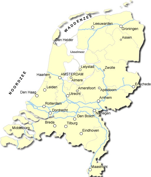
| Map of Holland, Airport and Seals | ||
|
back |

Click to see full-sized Above you see the map of Holland. You can click it to see a larger version. It locates the bigger cities. The dark blue lines indicate the rivers, while the thin blue lines stand for the borders of each province. Holland consists of 11 provinces. Holland is not an island, as it may seem from the map. We have seas in the West and North. On the East side we're next to Germany while at the South we're next to Belgium. Holland has
4 Airports. The biggest airport is Schiphol which is situated near
Amsterdam. Rotterdam, where I live, also has an airport tho much, much
smaller than Schiphol. In the very North of Holland, near the Waddenzee, we have a Sea
Shelter. |